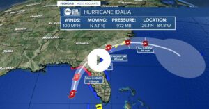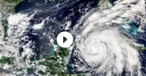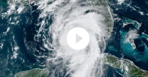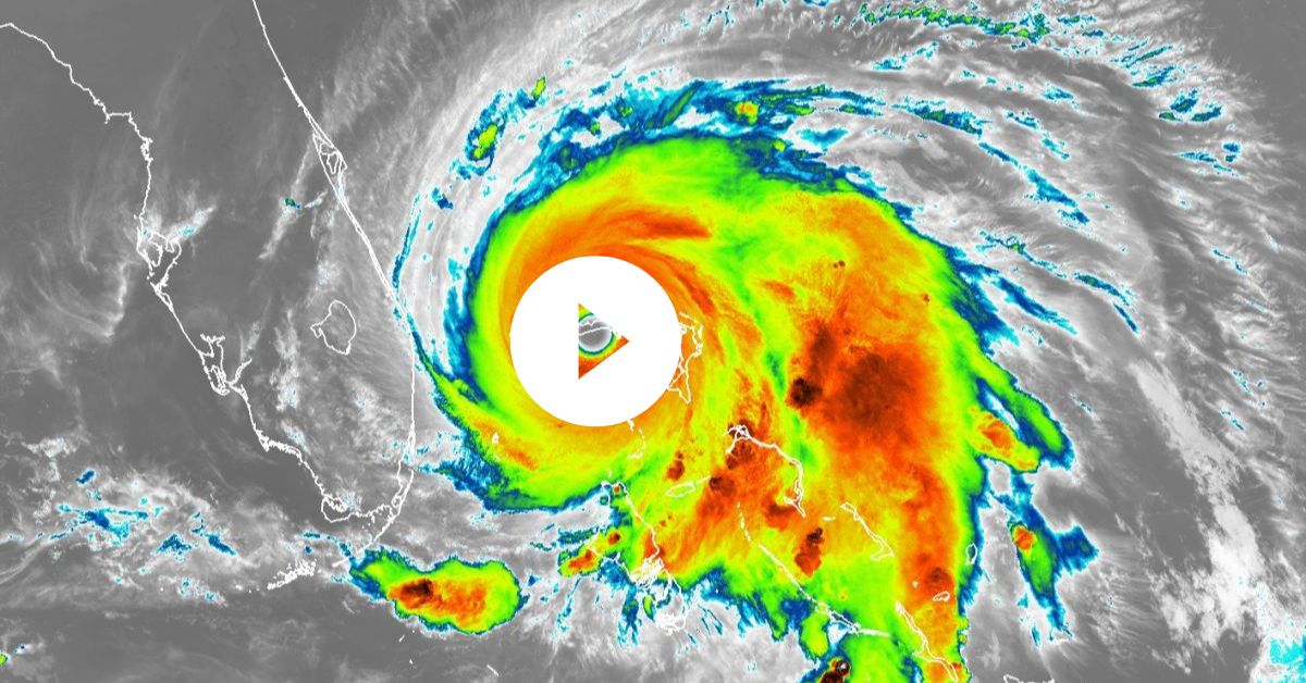
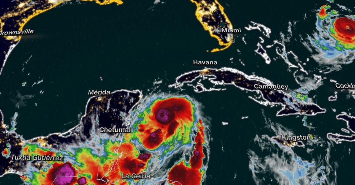
Here’s where Idalia is now and where it’s headed next: The storm is centered near western Cuba in the far southern Gulf of Mexico.
Idalia should move northward through the Gulf of Mexico and then turn northeast toward Florida on Tuesday and Tuesday night.
Plenty of warm water and increasingly favorable upper-level winds will make rapid intensification possible. Idalia could be at Category 3 hurricane strength when it makes landfall Wednesday morning, most likely in Florida’s Big Bend region.
After that, it will track near south Georgia and the coastal Carolinas through Thursday while weakening to a tropical storm.
Please note that major impacts from Idalia will extend outside the forecast path shown below, including the Tampa Bay area.
Hurricane and tropical storm alerts: A hurricane warning is in effect from the middle of Longboat Key to Indian Pass, including Tampa Bay. A hurricane warning means that hurricane conditions (74+ mph winds) are expected somewhere in this area within 24 hours.
Hurricane warnings are also in effect for some inland areas of northern Florida and south Georgia.
Hurricane watches, tropical storm watches and tropical storm warnings have been issued for many other parts of Florida into south Georgia and South Carolina, as shown in the map below.
Storm surge is a major danger in Florida: A storm surge warning is in effect for Englewood to Indian Pass, including Tampa Bay. This means there is a danger of life-threatening inundation from rising water moving inland from the shoreline within the specified area, generally within 36 hours.
Storm surge watches are in effect for other parts of the Florida coast to southeast Georgia and South Carolina.
Water levels could reach the following heights if the peak surge coincides with high tide:
-Aucilla River, Florida, to Chassahowitzka, Florida: 8-12 feet
-Chassahowitzka, Florida, to Anclote River, Florida: 6-9 feet
-Ochlockonee River, Florida, to Aucilla River, Florida: 5-8 feet
-Anclote River, Florida, to middle of Longboat Key, Florida: 4-7 feet
-Tampa Bay: 4-7 feet
-Middle of Longboat Key, Florida, to Englewood, Florida: 3-5 feet
You can see the latest storm surge forecast in the map below for the locations mentioned above as well as other areas.
Flooding rain is expected in Florida and the Southeast: Heavier rain appears to begin sometime Tuesday, continuing into Thursday from Florida into parts of Georgia and the Carolinas. That will likely trigger flash flooding in some areas.
Parts of the west coast of Florida, the Florida Panhandle, southeast Georgia and the eastern Carolinas may receive 4 to 8 inches of rainfall, with isolated higher amounts of 12 inches possible, primarily near landfall in northern Florida, according to the National Hurricane Center.
Damaging winds will reach far from the center: Locations where hurricane warnings are in effect could have numerous power outages and downed trees. Those more numerous outages may extend far inland to northeast Florida and southeast Georgia.
Elsewhere, at least scattered power outages and some tree damage can be expected from other parts of Florida to the coastal Carolinas.
Be prepared for a power outage with #Idalia!
We’re LIVE on The Weather Channel tonight. pic.twitter.com/R6MbkivR4w
— The Weather Channel (@weatherchannel) August 29, 2023
Tropical storm force winds will reach areas of Florida in the hurricane warning on Tuesday with hurricane force winds expected by late Tuesday or Wednesday.
Tornadoes are also a threat midweek. Isolated tornadoes may develop ahead of Idalia on Tuesday along the west-central Florida coast and will spread into the Big Bend area by Tuesday night.
The threat for a few tornadoes may persist across parts of northern Florida Wednesday morning and will spread along the Southeast coast later Wednesday.
Source- weather.com